Official Confirmed
Setting terms
Use Leonida and Vice City as official setting context where accepted source records support them.
Unofficial fan-made GTA 6 player hub. Not affiliated with Rockstar Games or Take-Two Interactive.
Start with the place you want to explore. Browse Vice City, Leonida Keys, Port Gellhorn, Ambrosia, Grassrivers, and Mount Kalaga National Park, then move into the location index, screenshots, or Trailer 2 guide for more context.
Last updated
Choose your next step
Open the Locations index for Vice City, Leonida Keys, Port Gellhorn, Ambrosia, Grassrivers, and Mount Kalaga National Park. Each place leads directly to related screenshots, videos, characters, and guides.
Use the location index when you know a place name, the screenshot gallery when you want visual context, or the Trailer 2 guide when you want scene-by-scene context. These paths keep the map page useful even before a final interactive geography is available.
Leonida and Vice City are the main setting context. The current place list also includes Vice City, Leonida Keys, Port Gellhorn, Ambrosia, Grassrivers, and Mount Kalaga National Park where those names appear in the supported material.
Any GTA Leonida Kit map UI should remain original schematic/vector UI. Pins and labels are evidence records and product navigation, not claims that the coordinate, district border, road, shoreline, mission marker, collectible marker, route path, or travel time is final.
Map size, exact coordinates, district borders, road layout, route paths, mission placement, collectible locations, activity counts, travel times, Online map behavior, PC map differences, and final gameplay systems remain Still Unconfirmed unless future official sources support the exact claim.
This site does not use copied maps, fan reconstructions, leaked maps, traced official imagery, trailer-frame maps, route overlays, coordinate grids, district-border diagrams, mission paths, or media-pack style map assets. Use source labels as evidence, not as a finished geography claim.
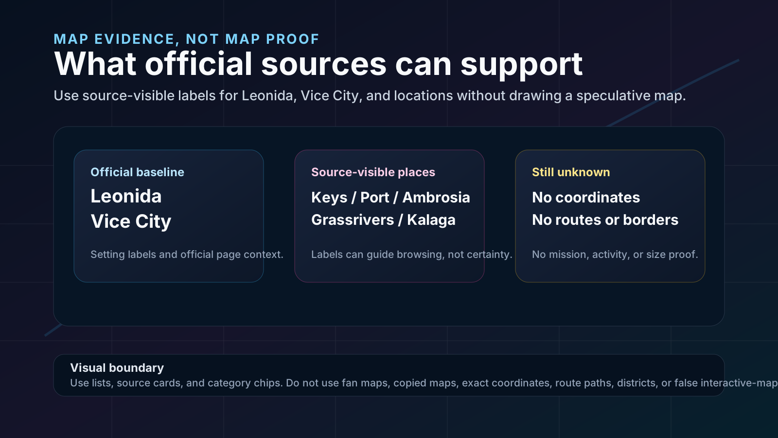
Start with official setting terms, then use source-visible labels as navigation context. Keep map geometry, mission placement, routes, and interactive certainty in the unconfirmed lane until accepted records support the exact claim.
Official Confirmed
Use Leonida and Vice City as official setting context where accepted source records support them.
Editorial Analysis
Treat Vice City, Leonida Keys, Port Gellhorn, Ambrosia, Grassrivers, and Mount Kalaga as evidence labels when tied to accepted media/source records.
Still Unconfirmed
Keep coordinates, district borders, road layout, route paths, mission placement, activity counts, and travel times out of confirmed map copy.
Site Policy
Use original schematic/vector UI only; do not use copied maps, fan reconstructions, leaks, traced imagery, or false interactive certainty.
No. This page organizes source-safe map evidence and original schematic UI. It does not show a final map, copied map, fan reconstruction, coordinates, route paths, or district borders.
Official Rockstar pages and media support Leonida and Vice City as setting context, plus source-visible labels such as Vice City, Leonida Keys, Port Gellhorn, Ambrosia, Grassrivers, and Mount Kalaga National Park where those sources show them.
No. Official media can support source-visible context, but map size, exact coordinates, district borders, route paths, mission placement, activity counts, travel times, Online behavior, PC differences, and gameplay systems remain unconfirmed.
Use it as an original verification shell and route into evidence records. Do not treat pins, filters, or labels as final geography unless a future official source supports the exact claim.